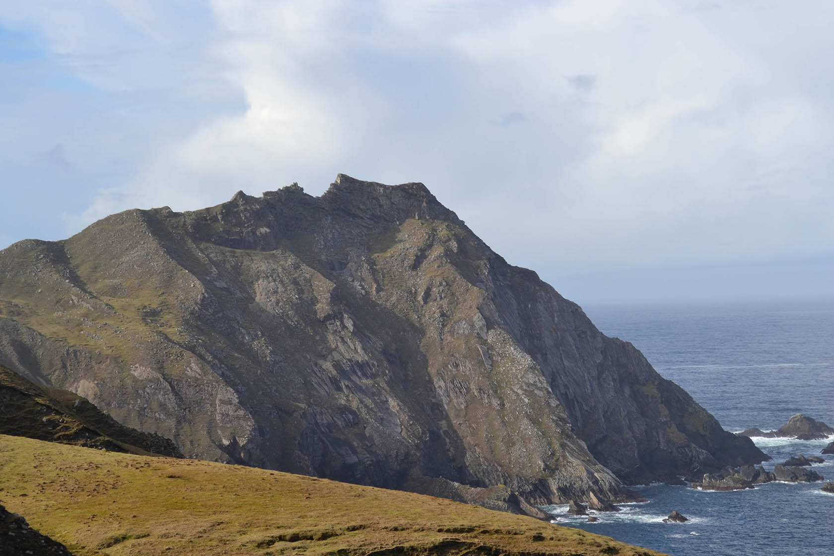
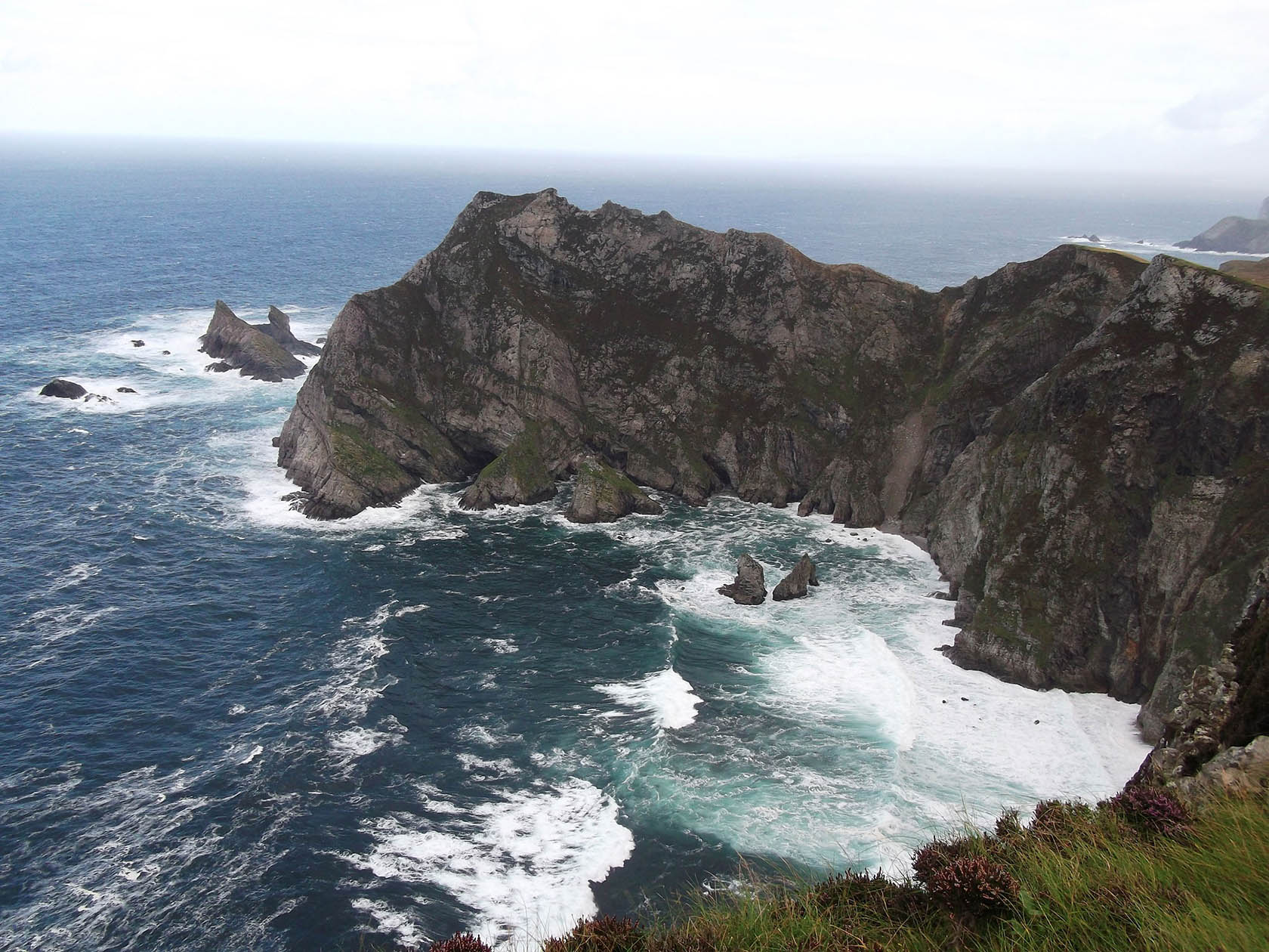
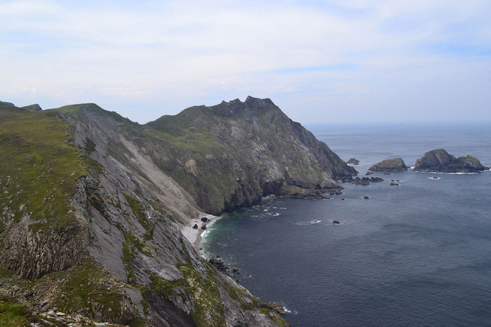
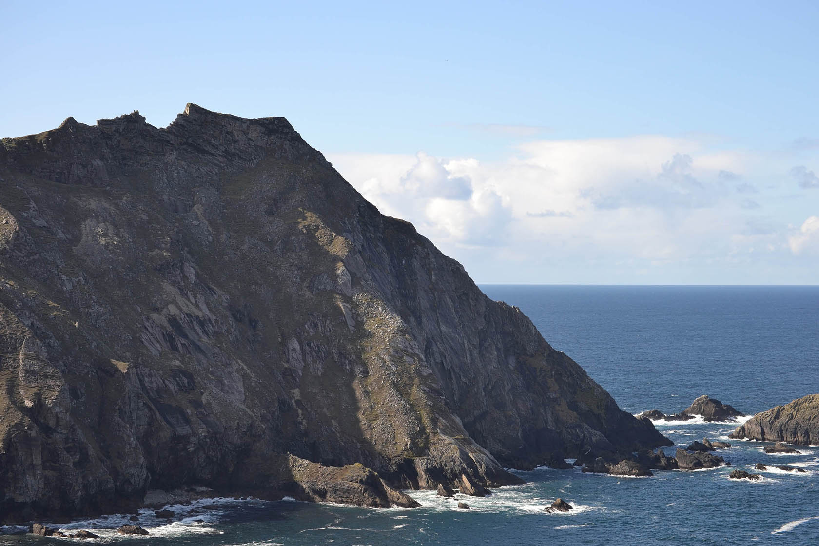
The Sturrall Headland is one of the most outstanding sea cliff features in Ireland, as it sits isolated and remote from the real world. Equidistant between Glencolmcille Village to the South and the An Port road end to the North, the ridge is approx 800m long and 180m at its highest point.
The GPS compliance file is a Sat Nav compatible file for publicly accessible locations.
Click here for GPS compliance file. To save, right-click then, 'save link as'.
GPS coordinates: 54.7372, -8.74455
Irish Grid Coordinates: 152091.18, 387946.53
Irish Transverse Mercator Coordinates: 552053.31, 887940.81