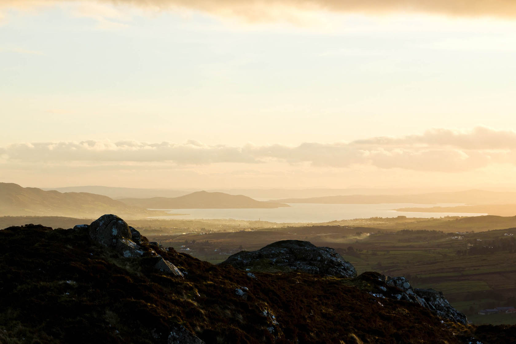
This is the region of Inishowen’s highest mountain, with a broad quartzite dome over bogland which is a Natural Heritage Area. This type of bogland can only be found in Ireland/UK/Norway and Iceland. The views are breath-taking with many features of the area stretching out below the mountain.
The GPS compliance file is a Sat Nav compatible file for publicly accessible locations.
Click here for GPS compliance file. To save, right-click then, 'save link as'.
GPS coordinates: 55.1959, -7.33559
Irish Grid Coordinates: 242362.59, 438955.07
Irish Transverse Mercator Coordinates: 642305.86, 938937.74